Hiking and Camping in the Appenzell Alps
| Day 1 | Total distance: 10km | Elevation gain: ~900m | Total time: ~4.5hs with a few breaks |
| Day 2 | Total distance: 10km | Elevation gain: ~900m | Total time: ~4.5hs with a coffee stop |
This overnight camping, two-day hike across one of the most scenic regions of Switzerland, Appenzell, can be done in different ways. This is one of them, not necessarily the shortest or the easiest one but one that will take you through a variety of beautiful landscapes passing by the Sämtisersee Lake, stopping at Berggasthaus Bollenwees for a coffee or a quick refreshing drink and doing a side trip to Seealpsee for a quick dip and a final look at Säntis.

Starting point: Brülisau (2.5hs on public transport from Zurich: 2 trains + bus or ~1.5hs driving). Finish: Wasserauen train station (2hs on trains to Zurich).
Day 1
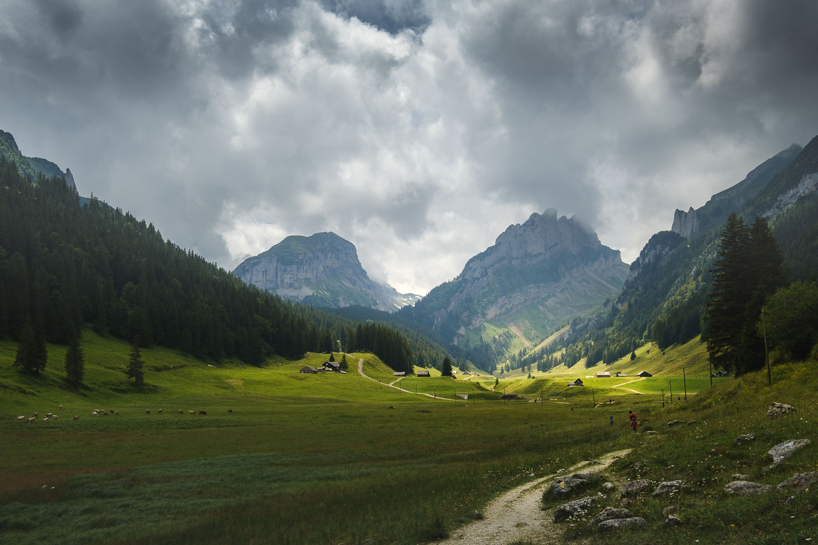
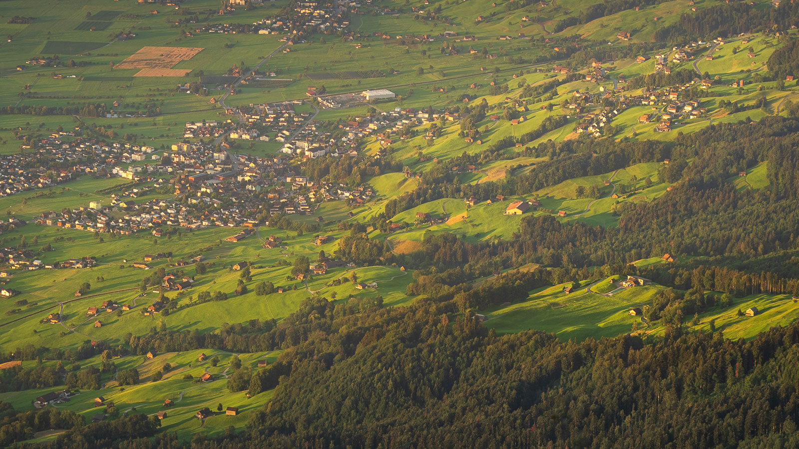
This hike starts at Brülisau, either from the bus stop or the car park. It’s easy to find your way from there as there is only one road that leads into the mountains. Very soon it enters a forest and with a slight incline takes you higher following a beautiful river.
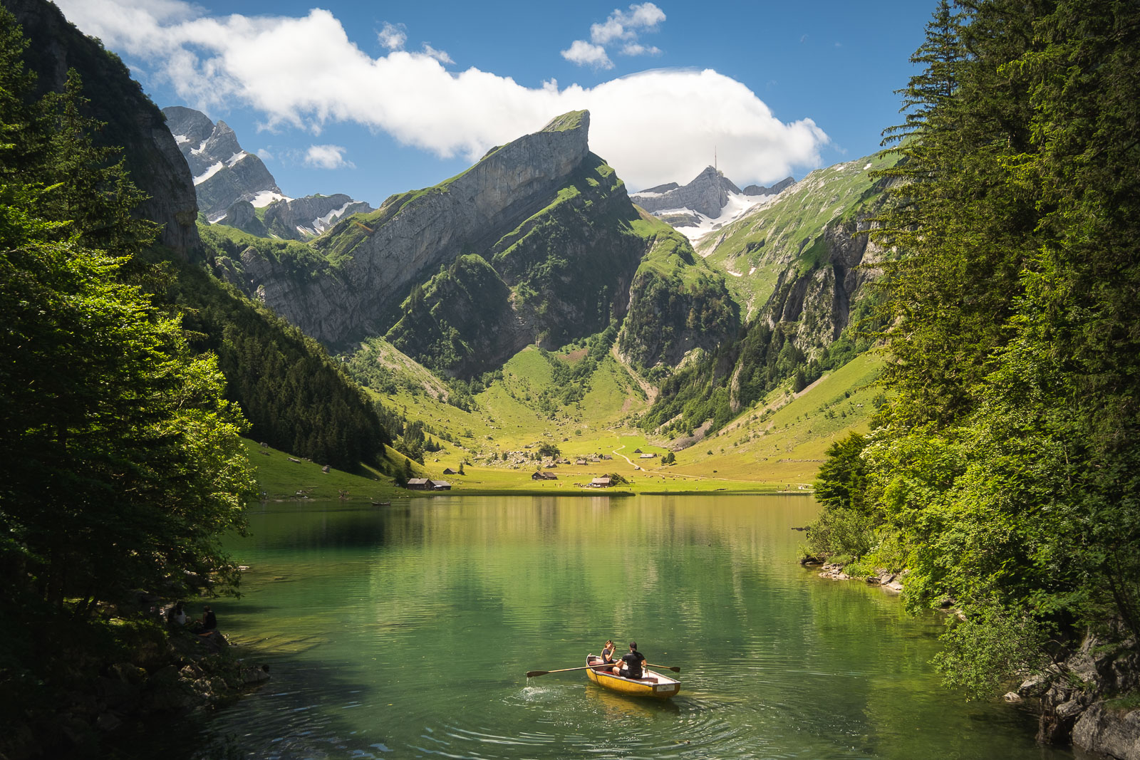
After about 1hr of walking through this forest the path leads to Sämtisersee Lake. This is where you will start to have vast and open views of the valley and the surrounding mountains while keeping, the highest point in the region, Säntis, behind you.

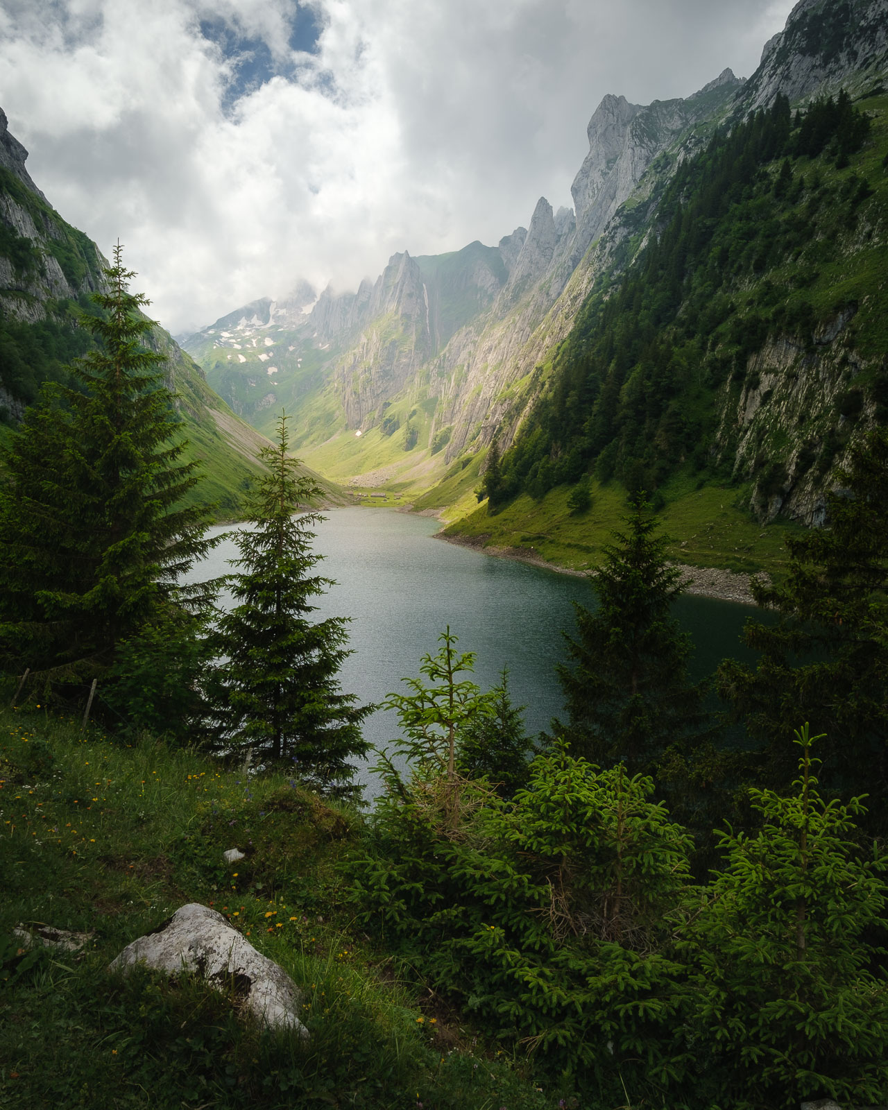
From Sämtisersee, it’s mostly a flat hike through some farms following the road to Berggasthaus Bollenwees, overlooking Fälensee Lake.
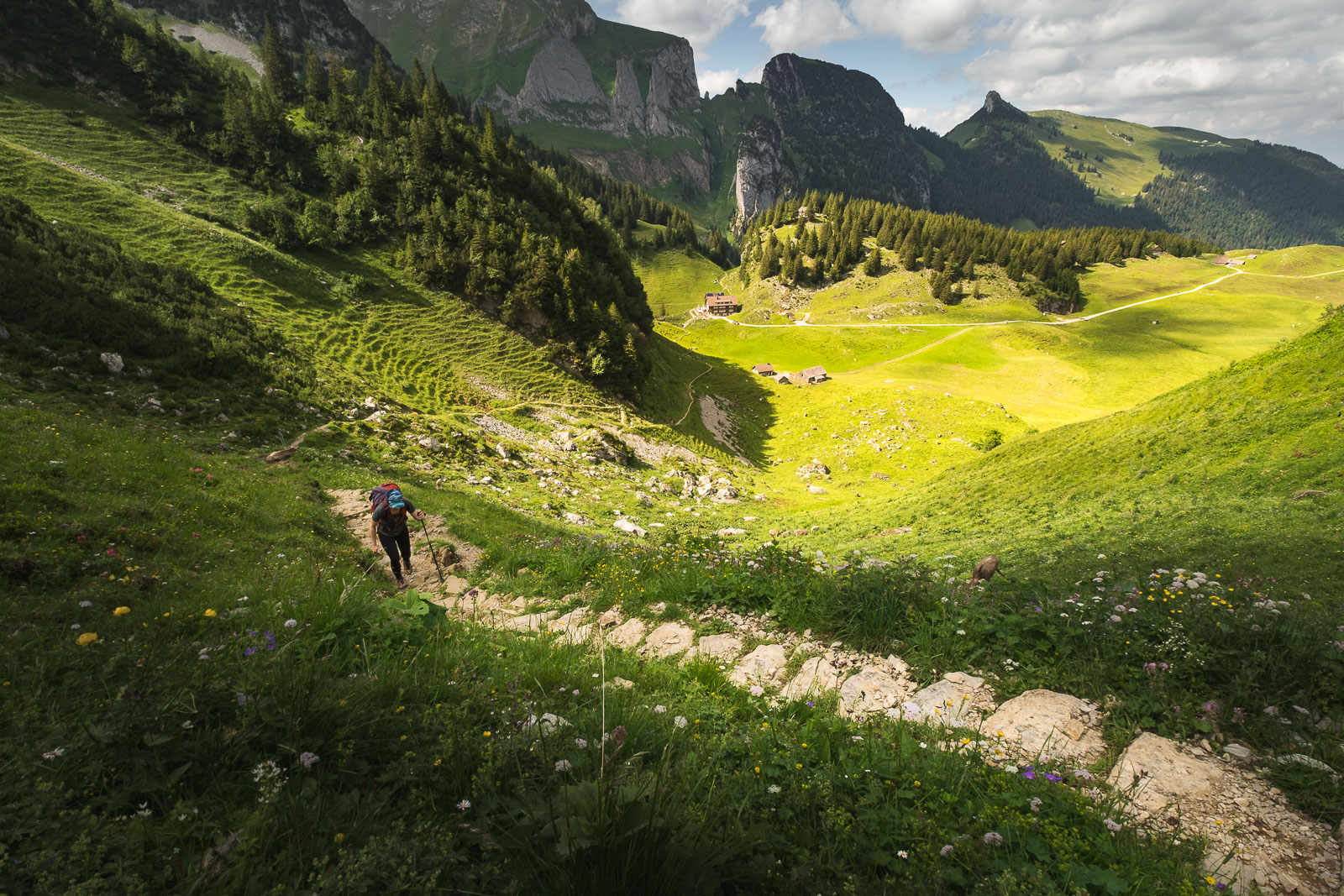
The guest house is a great place to refill your water bottle and get some food or drink before starting the ascent to Saxer Lücke (which is the saddle where you can cross to the next valley) and then to the ridge. The ascent is a steep hike of ~350 meters and can take about 45 minutes.
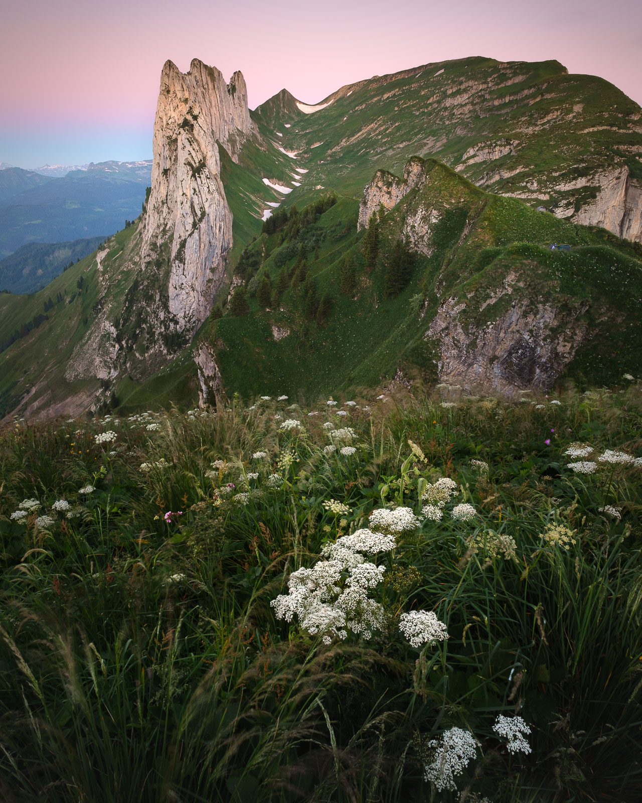
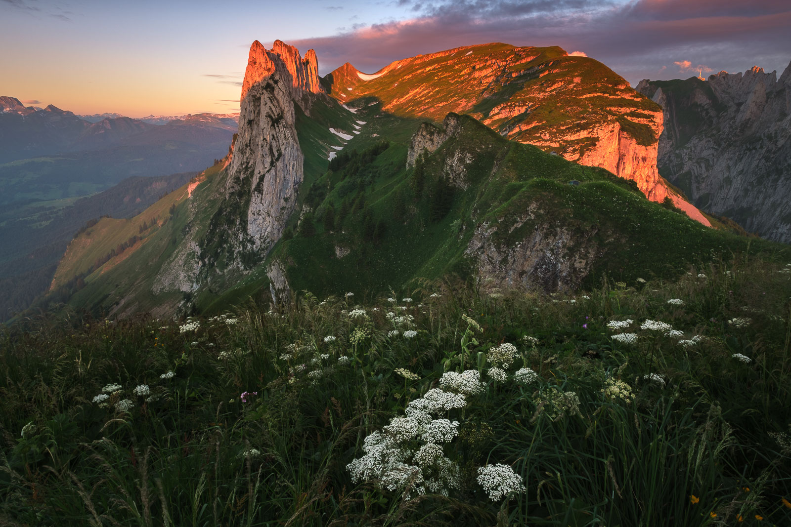
Some of the most incredible views of this area will open up at Saxer Lücke.
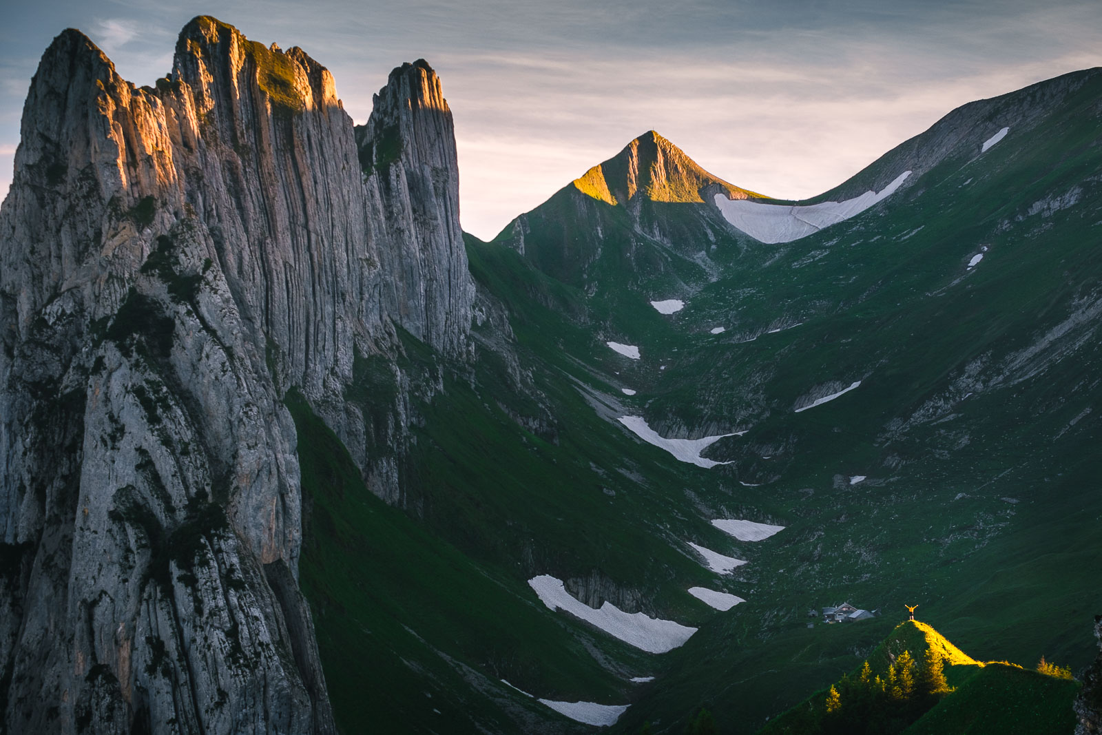
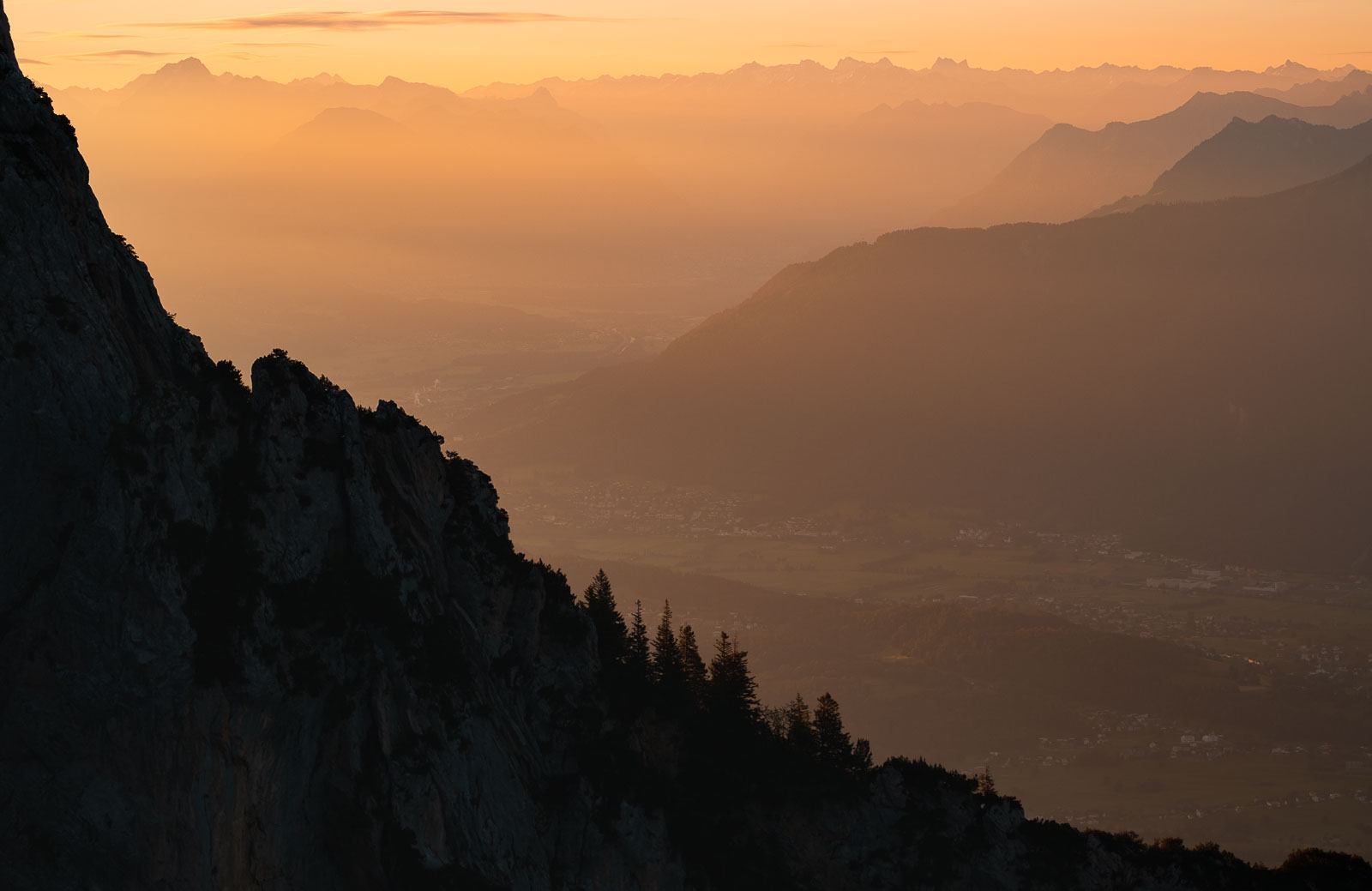
From the ridge, to the east you’ll see Lichtenstein and further to the north-east, Austria.

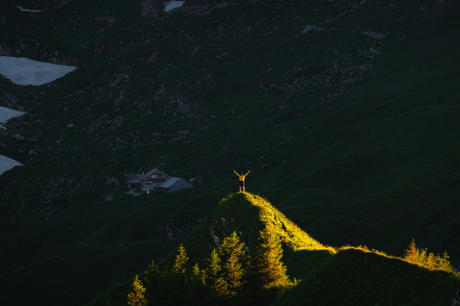
Here, there are only a handful “clearings” for wild camping so we recommend arriving early enough, around 17:00 if you’d like to grab the best spot. There were enough “spots” for maybe 5-6 tents on this narrow ridge. It was impressive to watch people arriving close to sunset and still managing to set up a tent somewhere. You’ll see what we mean.

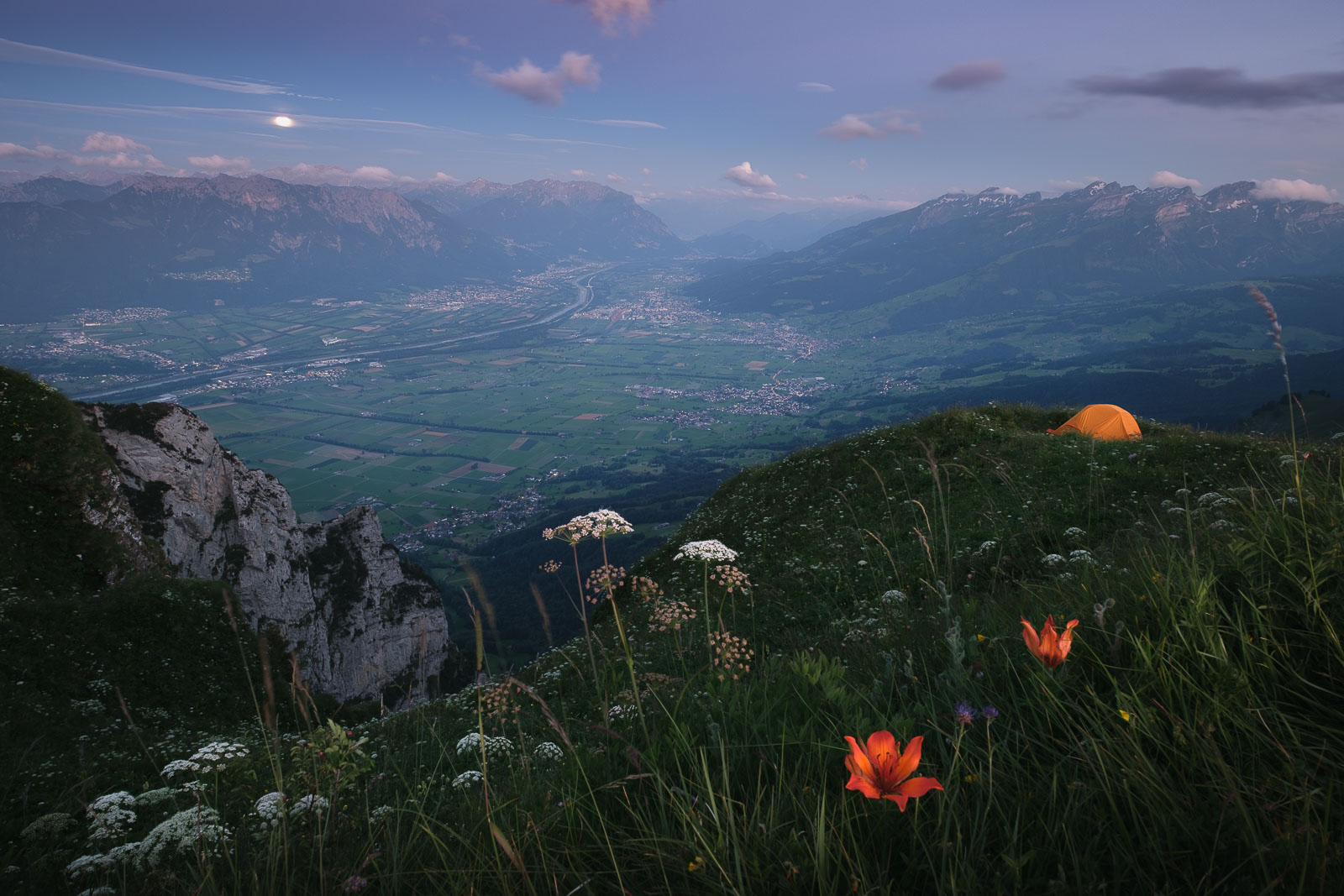

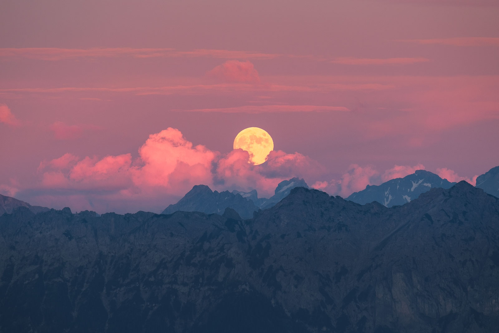
If you time your camping trip around the full moon and if the weather is good enough, you’ll have some impressive, clear views of the moon rising over the mountains.
Day 2
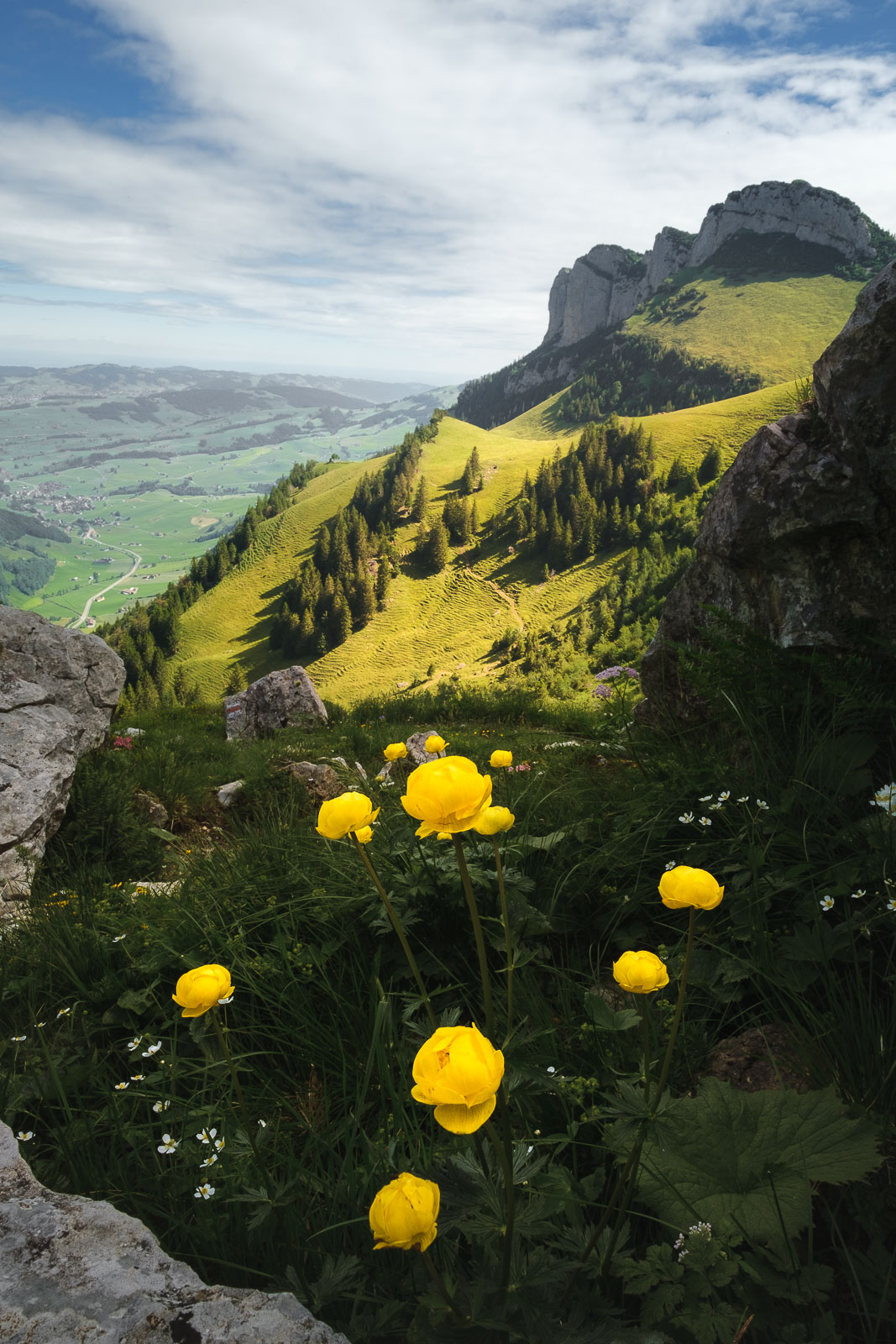
After a chilly night (even in summer it can get to ~5 Celsius degrees) the top of the ridge is the best place to watch the sunrise and the sunlight hitting the top of the mountains.
The next day’s trail goes back down to Bollenwees Berggasthaus, where you can have breakfast and hot coffee. After this, we descend into the valley just north of it from where it’s possible to see the next destination: Bogartenlücke.

The way up is quite simple but physically demanding. It was somewhat busy and it seems to be popular with trail runners on our way up.
The trail descending from Bogartenlücke into the next valley is in worse conditions than the other ones and can be slippery sometimes. It’s a good idea to bring poles for this part.
The trail then continues through a forest area until it finally reaches a few farms and a busy road leading to Sealpsee on the left or Wasserauen station on the right.
Seealpsee is an optional detour but it’s one worth doing as the surrounding landscape is just stunning and it’s only 30 minutes of walking on an easy trail.
