Hike to Alp la Schlera and down through Spöl Valley
| Total distance: 9.5km | Elevation gain: ~600m | Total time: 4-5hs one way |
|---|
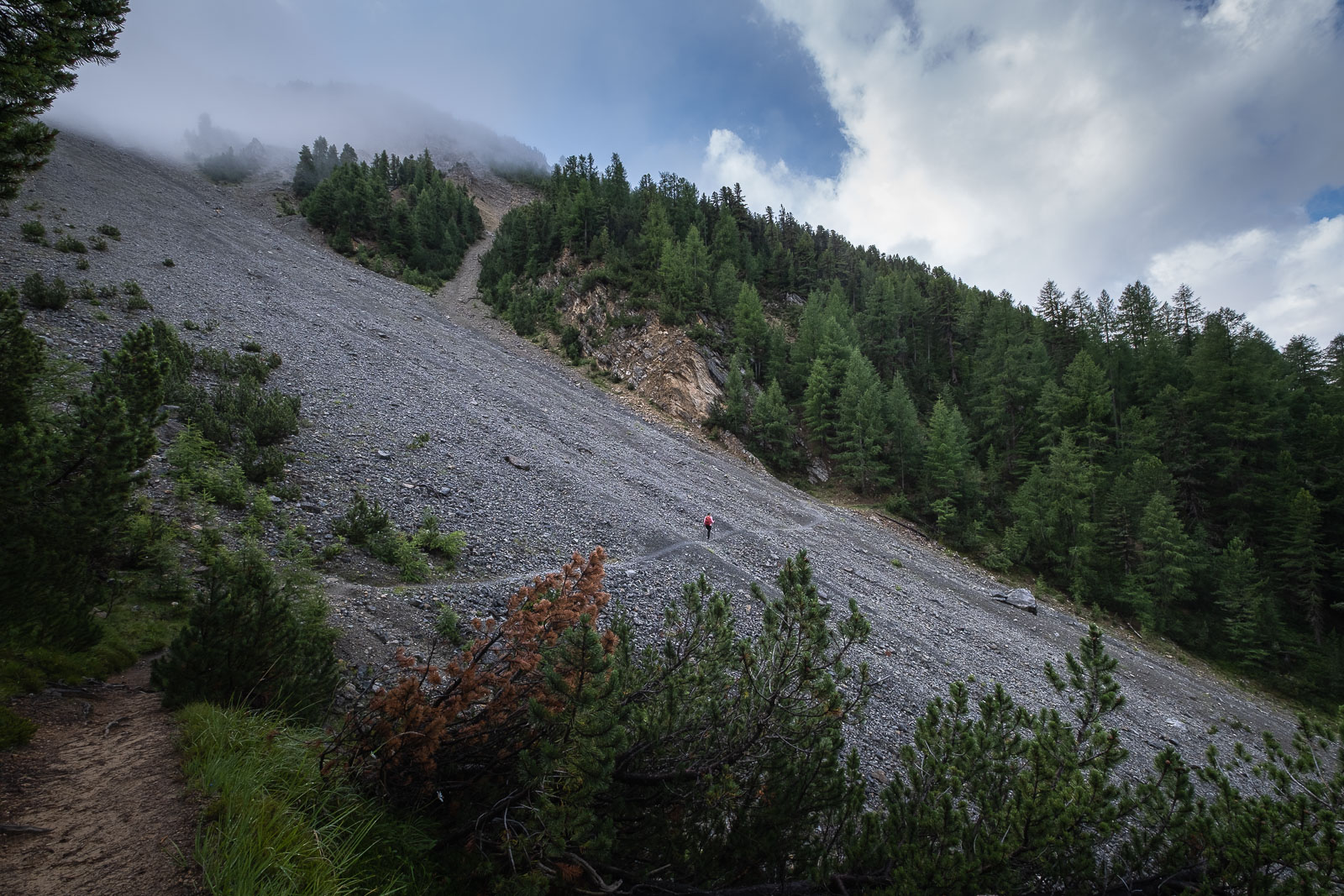
This wonderful day hike in the Swiss National Park with a moderate elevation gain of 600m starts from P6 Il Fuorn hotel and goes to the P3 bus stop. Of course it’s also a great way to get to the hotel doing the hike in reverse from P3 (or P1 to make it even longer). This is a combination of the official Trails 11 and 10.

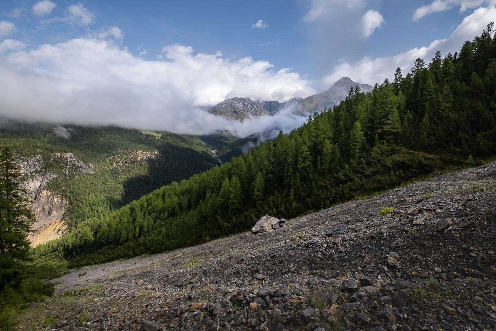
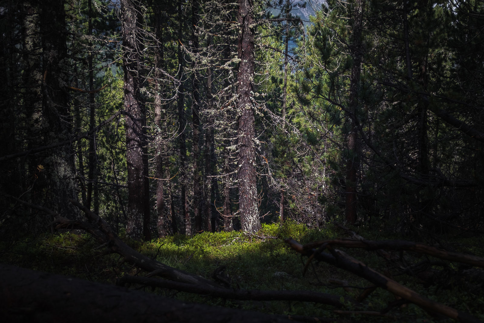
A short walk from the hotel, along the main road, towards Zernez direction leads to the start of the incline into a lush pine forest.


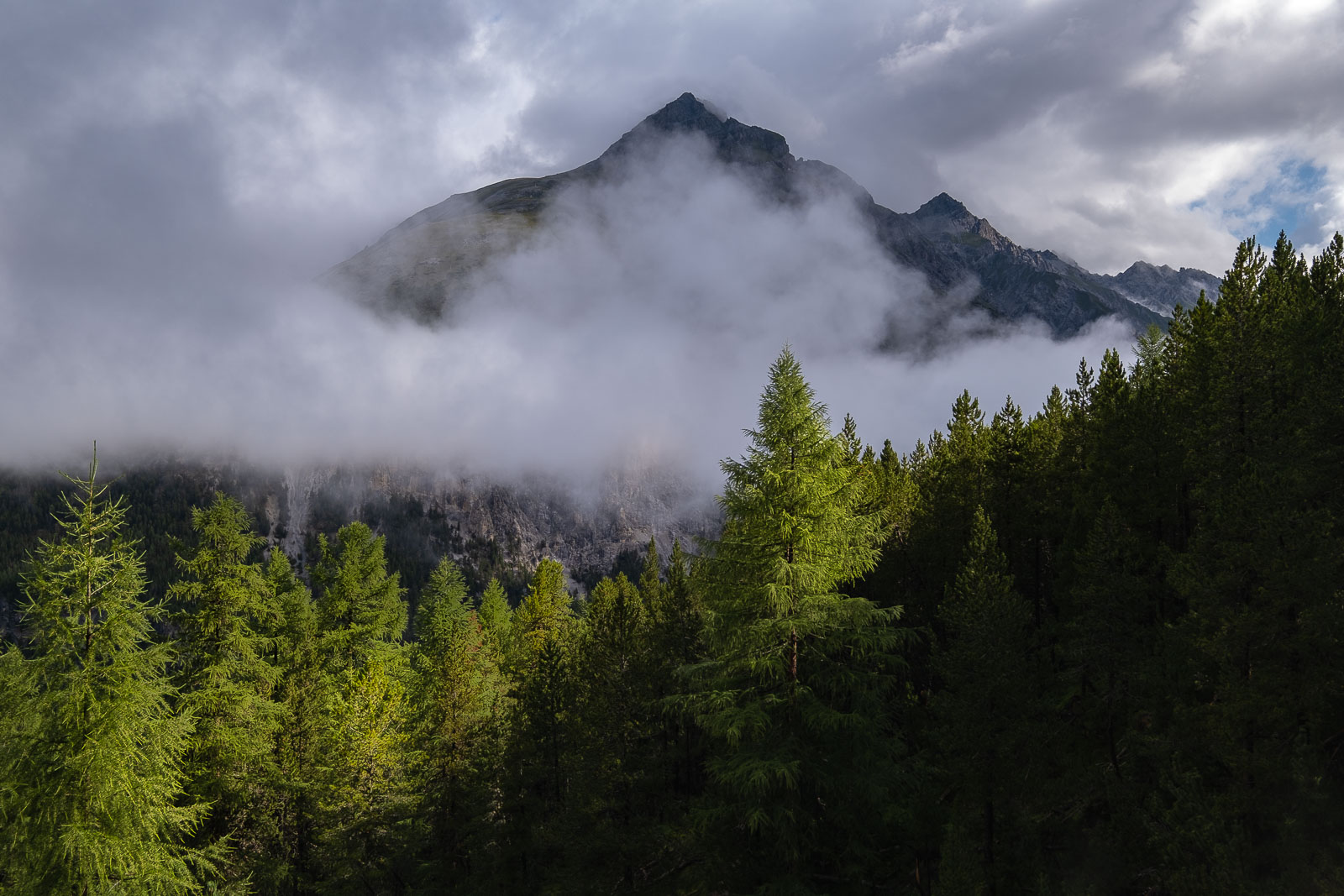
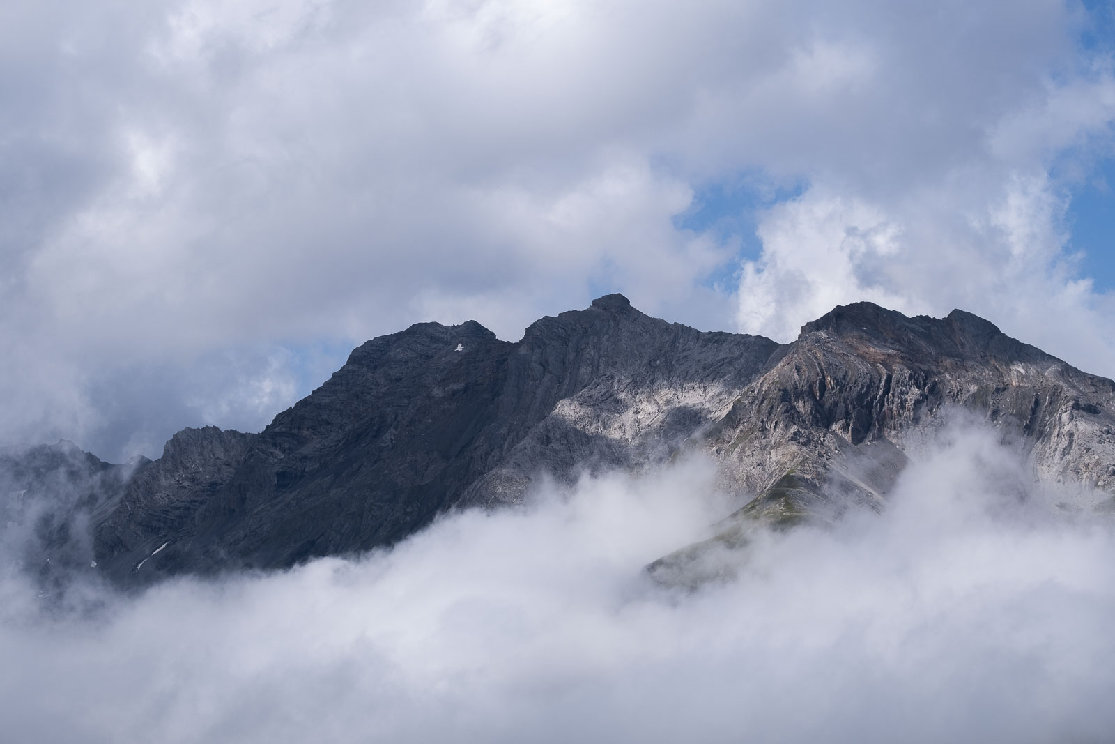
Once you’re out of the forest and gained about 200m elevation you’ll have breathing views of the neighbouring peaks. We had the morning clouds still hanging on the mountain peaks, slowly receding. It made the scenery ever so beautiful.
Then thick grass pastures take over, this is Alp la Schlera. You already see Munt la Schlera on the left and one trail would take you there (Route 15) or the trail on the right continues down to the Spöl Valley (Route 11).
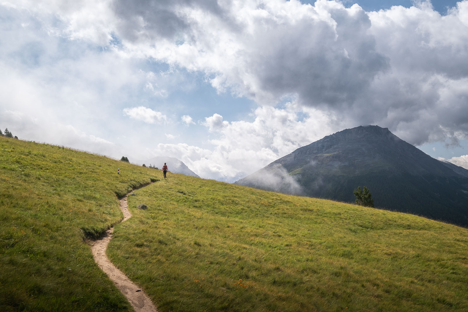
Alp la Schlera has a water tap and benches to take a break on and to admire the marmots all around!

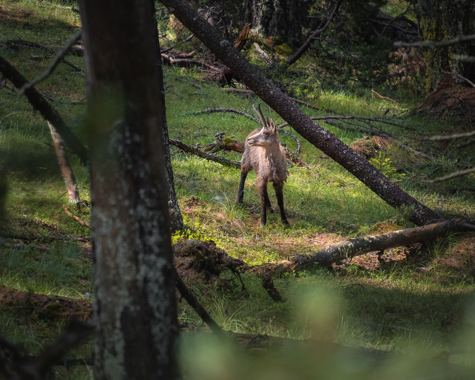
After a short break we took the right trail and headed downwards, while passing a few more marmots. We were back under the cool cover of the forest. Out of the blue we spotted a chamois standing still like a sculpture just a few meters from us, light falling on its face in the most perfect way for photography. Once it was used to us admiring her, it carried on grazing. These moments of seeing wild animals elevate the Swiss National Park from other hiking regions of Switzerland.
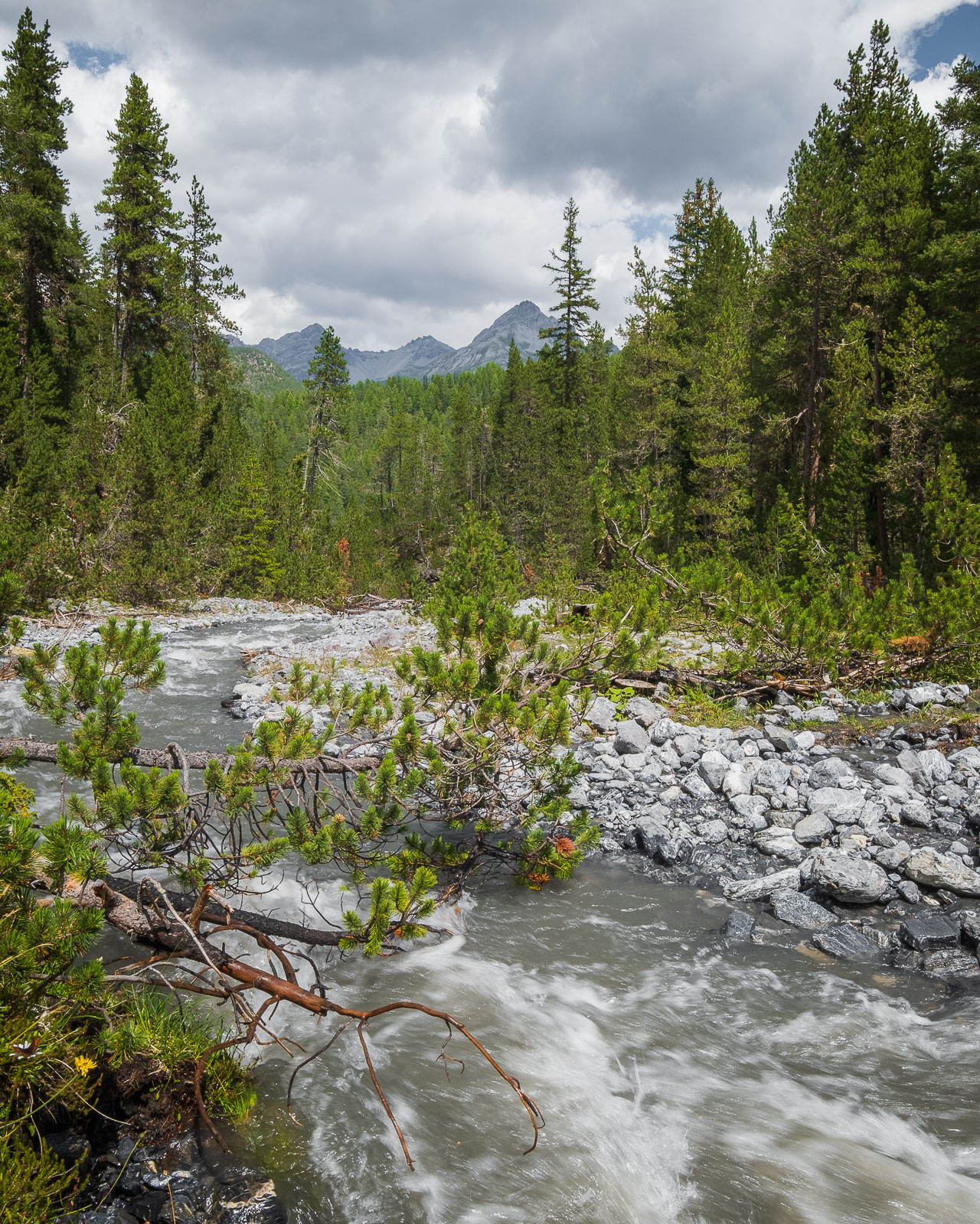
Once you reach the end of the path, take a left onto Trail 10 towards Plan Praspöl (P3 bus stop). An about 150m decent will take you down to a bridge crossing Spöl river. We found the perfect little spot for lunch here, just under the bridge.
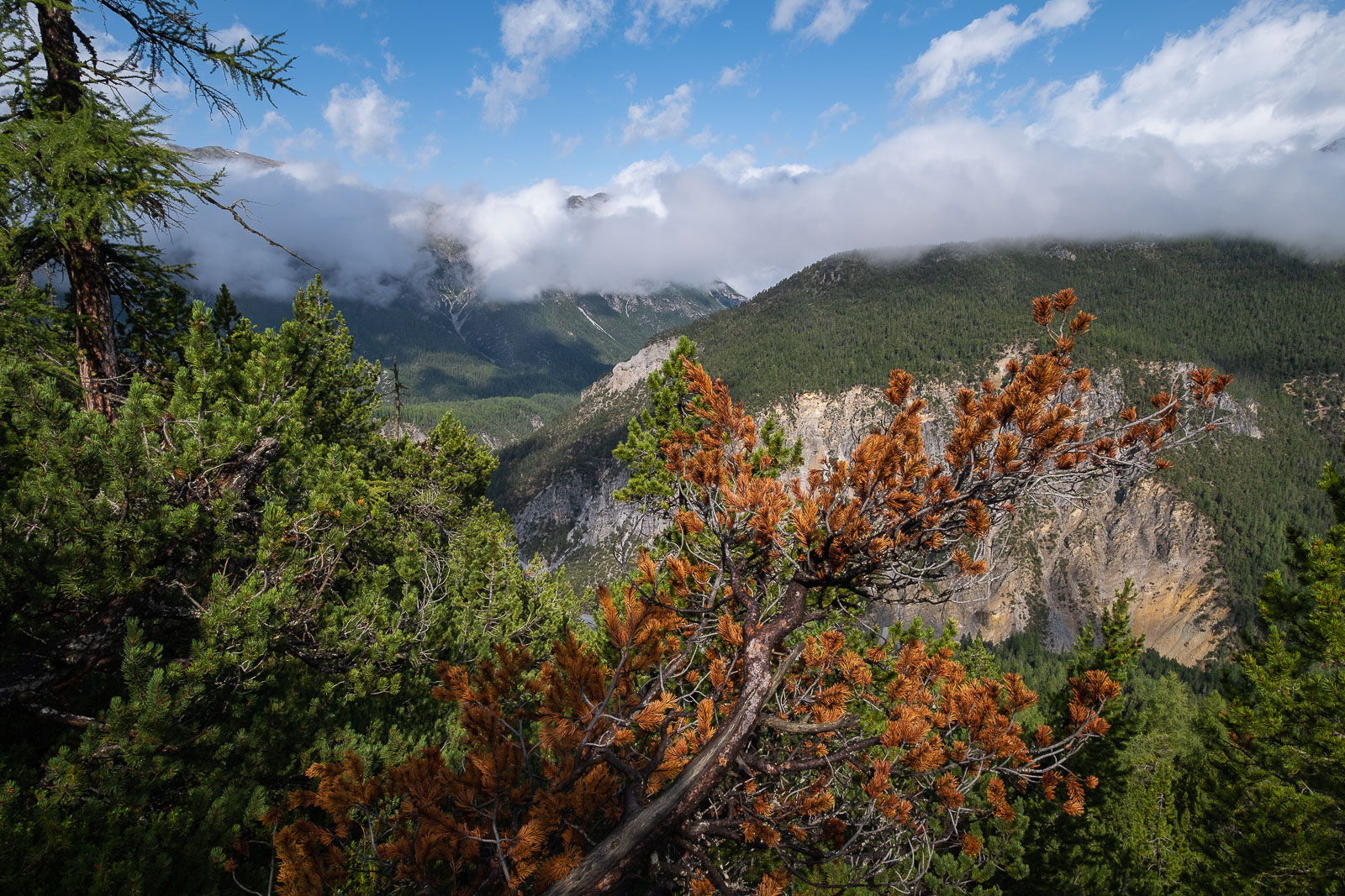
The trail continues through more fir-larch-pine trees with just a little bit of uphill of 100m. Then the path slightly undulates up and down but overall the track continuous down to the next crossing of the Spöl river.


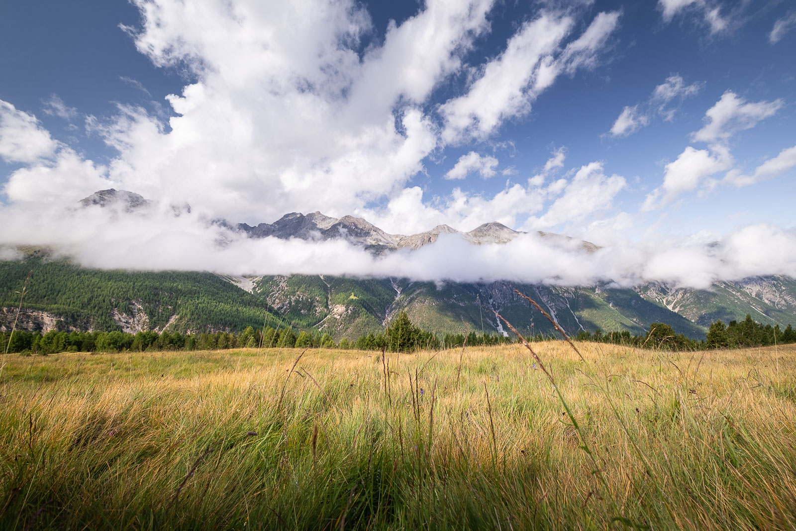
Overall, this hike was not too demanding while it did provide the desired dose of mountain-views, meadows, teal-coloured rivers and calming forests.
This trail is said to be less popular on the official site, however we saw more people than on the Chamanna Cluozza hike which is considered popular. You will find more on this mentioned hike here.